Monday, October 1, 2012

Gros Morne Trout River, Newfoundland

After leaving L'Anse Aux Meadow, we worked our way to the southern part of Gros Morne Park National for a few days of additional hiking.

There were so many beautiful coastal views, it was difficult not to stop every 5 minutes to take yet another picture.
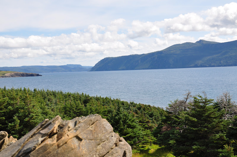
Drive along the west coast of Newfoundland
 The following series of pictures are of Western Brook Pond.  The pond can't be reached by car and the hike in is about an hour across bogs and as such, is limited access.  We did not take the pond boat ride but simply hiked in and enjoyed the pond from water's edge.


Hike to Western Brook Pond


Western Brook Pond, boat cruise landing
The camera doesn't begin to capture the true beautiful of this place.

Western Brook Pond


Western Brook Pond


Western Brook Pond


Hike along Western Brook Pond
The following pictures are of Trout River, a small fishing community on the edge of Parks Canada.  Just about everyone lives in the village itself with very few people living in the countryside.  The road to Trout River is often closed in the winter and much of the electrical power comes from generators.  One interesting item, Trout River campground was the only Parks Canada campground that had WiFi.  But, you could only plug in your computer between 9 and 11:00 pm as that's the only time the generator ran..


View of Trout River
Trout River Pond was a very large and beautiful body of fresh water feed by Trout River.  Our campground was right on the edge of this pond and you'll note, there are no boats on the water..  Beautiful and quiet with an occasional kayak skimming across the late.


Trout River Pond, note Tablelands on the left side
On our last Saturday night in camp, we went into town to a seafood restaurant along the boardwalk.  This was a Saturday evening, in the middle of tourist season.  Note the number of people on the boardwalk...


Trout River Boardwalk


Trout River Boardwalk


Trout River Boardwalk
We were very fortunate and happened upon the Trout River Town Festival.  The festival included beer, interesting foods and a "one man band" playing for the crowd on the boardwalk.  Trout River faces west and we had a gorgeous sunset and an evening full of great sounds and lively dancing. 

Again, all the people were so very friendly, even if you had a difficult time conversing (they have a very strong accent and it isn't "Yankee") everyone you came across wanted to chat as they knew you were from "away".  "Away" being the Newfoundland term used for anyone who wasn't from their respective town, even if you were from 30 minutes down the valley.


Trout River Town Festival
Our final hike in Newfoundland was to Green Garden, one of the most popular hikes in Gros Morne.  You start on the higher land and descend to the coast.  The hike could be difficult but was well worth the effort.


Hike to Green Garden
View from the back country camp area of the coast.


Green Garden
Note the pink chairs.   Parks Canada did a beautiful job placing chairs such as these in interesting and beautiful locations so hikers to take a little time to sit and take in all the beauty of the environment.


Green Garden
If you look closely (below), you can see Dan descending the stairs.


Green Garden stairs to sea level

Again, the camera can't begin to capture the true beauty of this area.


Green Garden


Green Garden
The return hike begins with climbing those stairs..


Green Garden, note the chairs on the hillside
Parks Canada offered many interpretive guides so we could have a better appreciation for the people of Canada and their history.  Kevin, a Native American and tribal elder of the Micmac people, chatted about the bounty of the forest and it's medicinal opportunities..


Grandmother's Medicine Bag, Kevin


Sunday, September 30, 2012

L'Anse Aux Meadows, Newfoundland

From Gros Morne, we continued north to the northern tip of the western cost of Newfoundland to St Anthony's and L'Anse Aux Meadows.  Technically, this is as far north as we've been, 51 degrees north latitude..  Item of note here was how long dusk and dawn lasted.  The sun would set but it would continue to be light for a couple of hours.

St. Anthony is the largest town in this region and L'Anse Aux Meadows is the site of a Viking settlement dating to 1000 AD, very cool.  Parks Canada has done a wonderful job in re-creating the settlement which includes a Viking lodge and out buildings.  The site is based on historical information in Eric the Great's Saga and the information geologists documented from excavating the site.  The Vikings returned to this camp on numerous occasions over several years, proving they were able to cross from Greenland, across open water, reaching the east coast of North America.


Phillips Garden, art work

The following is the small fishing village near the site.  The homes are now owned by Parks Canada with the residences holding the right to their homes until their death.  Each property will then go to Parks Canada and the village will disappear..  It should be noted, this is a very isolated region where the young people have all moved away in search of jobs and opportunities.  It is sad that the homes are all owned by Parks Canada but for the elderly people who still live their, the arrangement allows them to remain in their homes.

View of fishing village at L'Anse Aux Meadows

A following provides a glimpse of the very rugged northern coast.  We had a beautiful day for a morning hike which took us along the coast and overlooks of the Atlantic Ocean and the town of St Anthony.

St Anthony coastal walk


View of St Anthony


St Anthony whale watching tour departing the harbor


St Anthony's lighthouse and coastal walk


St Anthony's lighthouse and coastal walk


St Anthony, coastal walk


St Anthony, coastal walk


Viking lodge and out buildings


Viking lodge with out buildings on the right of the lodge


Inside the Viking lodge


Parks Canada interpreter


Parks Canada interpreter


One of the doors into the Viking lodge


Viking Lodge and out buildings


Viking Lodge


View of Burnt Cove, overlooking "the swimming pool" which is the long thin pool towards the right


Burnt Cove, park ranger interpretive tour


Hike down to "the swimming pool"


Walking along the edge of "the swimming pool" at Burnt Cove

Next stop, back to Gros Morne,,,
 

Saturday, September 29, 2012

Gros Morne (Berry Hill) Newfoundland

Simply magical is the only way we can describe Newfoundland as the people are friendly and welcoming and the island is unspoiled and pristine..  The Bay of St Lawrence contains some of the cleanest ocean waters in the world and West Brook Pond, arguably, has the cleanest fresh water in the entire world. 


We traveled from North Sidney, Nova Scotia to Port Aux Basque, Newfoundland, via a 6 hour ferry crossing (the alternate ferry takes 14 hours) through beautiful waters where whales and dolphins played and accompanied our very large ferry.  Keep in mind, Newfoundland is an island and everything which travels to the island is via ferry (food, gasoline, and other consumable and finished products).  The ferry had 5 decks and carried cars, 18 wheelers, campers, and RVs.

North Sidney Ferry Terminal
Dan on the upper deck as we were departing
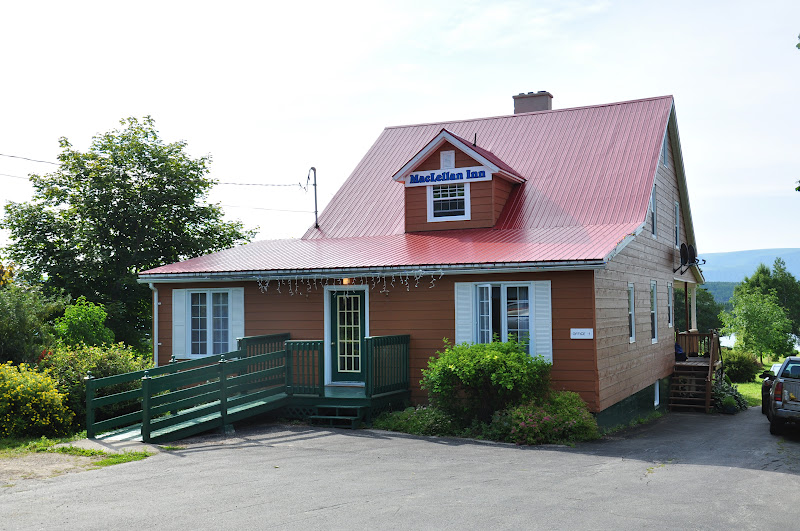
B&B, Codroy Valley.  Spent Newfoundland arrival night and departure night here.   
View from the back porch of the B&B.  The water is tidal and the mountains leave you feeling like you're home..

You'll note we began by stating Newfoundland was "magical".  As such, you will fine three separate posts covering our  time in Newfoundland.  This post titled Gros Morne Berry Hill, followed by L'Anse Aux Meadows (Viking Settlement and St Anthony's) and Gros Morne Trout River.  We spent two full weeks on this island and toured the west coast as the east coast was a full 8 - 10 hours drive across the island (with nothing in between) and would have resulted in a 14 hour ferry ride to the mainland.  In hindsight, we should have spent an extra week but...  
 
Gros Morne is part of the Parks Canada system and is a very large national park with two distinct sections.  The north (Berry Hill) and the south (Trout River).
 
Berry Hill camp site

The following pictures take us to the Tablelands, a world heritage site with a unique and "one of a kind" geological site.  The Tablelands are the golden set of mountains with the flat top (go figure..)  The rock is from the earth's mantle and very little, if anything, grows in the environment.  In the same valley, you can also find mountains from the Appalachian mountain range, the same range which runs from Georgia, into Eastern Canada, through Newfoundland and into Ireland.


 It's like you're in another world...  And, NASA utilizes this area to test equipment NASA takes to Mars.


The people of Newfoundland have historically lived off the ocean and fishing.  The following series are of a fishing home where three brothers, their three wives and four children spent the summer season.  The red barn was used for supplies and a workshop.  The little white structure housed the extended family for 6 months a year..


What's a home without a reading room.  And yes, the wind blows. 


The view down the coast from the front porch.


The house had three bedrooms, a pantry/entry room and a common area.  Each couple had their own room and the four children slept in the common area.


Pantry/entry room. Note: my mom had this very same washing machine...


The common area and our Park Interpreter.


Part of the "WOW" of Newfoundland.


So from the ocean to the mountains, a view of the fjord where West Brook Pond is located.  Pictures of West Brook Pond to follow in a later post.


Common along the coast are stone pillars.  The following two pictures are "The Arches".


The Arches


View of Rocky Harbor from Lobster Cove Lighthouse.


Lobster Cove Lighthouse.


Much of our time at Berry Hill was spent hiking.  The Gros Morne hike could be either a 4 hour or an 8 hour round trip.  Dan would have been happy to go for the 8 hours but not me.  As such, the following is the view of Gros Morne from our turn-around-point.  If you did choose to continue, the trail was "one way" forward due to loose rocks and significant elevation change.  Once you started up, there was no safe way to turn back..


Turn-around-point view.


And look what we had the fortunate opportunity to witness...  Yes, mom and her baby playing in the water.


Enough water time, it's off to an alternate bog.


Turn-around-point view of the Bay of St Lawrence.


The Tablelands off in the distance.


Dan watching the moose and her calf.


Again, Tablelands off in the distance.


When you're not on a schedule, you can change your plans and enjoy some of the local culture.  The following are a few pictures from a "return to Newfoundland" event at Lobster Cove.


Gros Morne Mountain in the background.


Nice turnout for the event.


Cake, coffee & tea served by Parks Canada personnel to all in attendance.  Very yummy cake baked by The Chocolate Moose, a local bakery.  Note:  Every little town had a bakery where you could purchase fresh breads and such every day...  No sliced bread in Newfoundland.


Just to show, there is a large variety in the landscape of Newfoundland..


West Brook Pond waterfall.


West Brook Pond waterfall.


Next stop, L'Anse Aux Meadows..